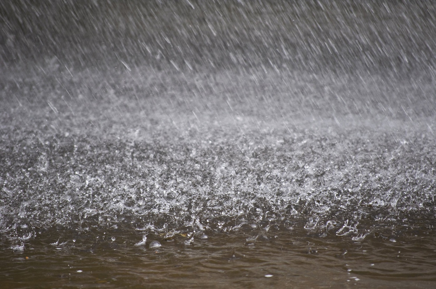
How often will we see more floods like the one that Ellicott City experienced a few weeks ago? What were once called "once in a hundred year or thousand year floods" seem to be more related to the past than the present situation. Using old weather models to assess current and future weather may under estimate storm intensity. What seems to be the new reality for areas like Ellicott City and Louisiana with recent floods is related to two significant factors.
The first is the global warming of the oceans is causing rain storms to become more intense. Warm water evaporates at higher rates putting more moisture into the air. In a 2015 article in the Nature magazine article on climate change the following was written:
"In the last decade record-breaking rainfall events have occurred in many places around the world causing severe impacts to human society and the environment including agricultural losses and floodings. There is now medium confidence that human-induced greenhouse gases have contributed to changes in heavy precipitation events at the global scale. Here, we present the first analysis of record-breaking daily rainfall events using observational data. We show that over the last three decades the number of record-breaking events has significantly increased in the global mean. Globally, this increase has led to 12 % more record-breaking rainfall events over 1981–2010 compared to those expected in stationary time series. The number of record-breaking rainfall events peaked in 2010 with an estimated 26 % chance that a new rainfall record is due to long-term climate change. This increase in record-breaking rainfall is explained by a statistical model which accounts for the warming of air and associated increasing water holding capacity only. Our results suggest that whilst the number of rainfall record-breaking events can be related to natural multi-decadal variability over the period from 1901 to 1980, observed record-breaking rainfall events significantly increased afterwards consistent with rising temperatures."
Do you know the temperature of the Chesapeake Bay this summer? Would you believe 87 degrees at the mouth of the Bay? The temperatures of the Bay have been increasing for some time. One study found that the Bay temperature is increasing .5 to 1 degree Celsius every decade. As reported in the study:
"A new study shows that surface water temperature in the Chesapeake Bay is increasing more rapidly than air temperature, signaling a need to look at the impact of warming waters on one of the largest and most productive estuaries in the world."
The second cause of increased flooding is the amount of development of areas with impervious surfaces. Areas that once absorbed the rain water now lead to more storm runoff. The Baltimore Sun had an article that pointed out the developments around Main Street that now funnel water in the direction of Main Street.

Ellicott City is additionally more vulnerable to storm runoff because of the granite that encases much of Main Street as pictured above. It seems as if you couldn't design a better funneling system than we have with Main Street being at the narrow end of the funnel.
Given this reality that has few easy solutions where does that leave the restoration of the area. I have already mentioned one option but the reality is that the commercial aspect of Main Street will always predominate in the discussion of what the future holds for Main Street. Can retrofitting and re-channeling the way that water flows toward Main Street ever adequately address the flooding potential? How do you correct a problem that may have few manageable and affordable options? The balance between options that have a realistic chance of addressing the problem and what is affordable and practical will always create a difficult dilemma moving forward. The next chapter in defining what form Main Street will take needs to be a broad examination of how to develop the area as an asset for the County without ignoring the current reality of more frequent devastating flooding.
P.S.
Like most of us in Howard County when we get a heavy thunderstorm, as we have recently during the cleanup, my thoughts go to how well the runoff is being handled on Main Street. This video shows that there is some significant runoff after a normal Summer rain storm.
#hocoblogs
No comments:
Post a Comment
Comments will be moderated but encouraged